File:EB9 Spitzbergen - Map.jpg
Jump to navigation
Jump to search

Size of this preview: 631 × 600 pixels. Other resolutions: 252 × 240 pixels | 505 × 480 pixels | 808 × 768 pixels | 1,255 × 1,193 pixels.
Original file (1,255 × 1,193 pixels, file size: 367 KB, MIME type: image/jpeg)
| This is a file from the Wikimedia Commons. Information from its description page there is shown below. Commons is a freely licensed media file repository. You can help. |
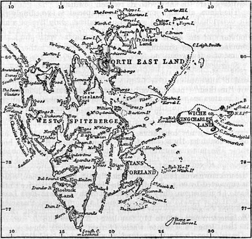
| Description | Map of Spitzbergen (Svalbard) | |||
| Date | published 1887 | |||
| Source | Encyclopædia Britannica, Ninth Edition, v. 22, 1887, p. 408 | |||
| Author | unknown cartographer | |||
| Permission (Reusing this file) |
|

File history
Click on a date/time to view the file as it appeared at that time.
| Date/Time | Thumbnail | Dimensions | User | Comment | |
|---|---|---|---|---|---|
| current | 22:32, 15 June 2012 | | 1,255 × 1,193 (367 KB) | Bob Burkhardt | {{Information |Description=Map of Spitzbergen (Svalbard) |Source=''Encyclopædia Britannica'', Ninth Edition, v. 22, 1887, p. 408 |Date=published 1887 |Author=unknown cartographer |Permission={{PD-Britannica}} |other_versions= }} [[Category:Old maps of... |
File usage
The following page uses this file: