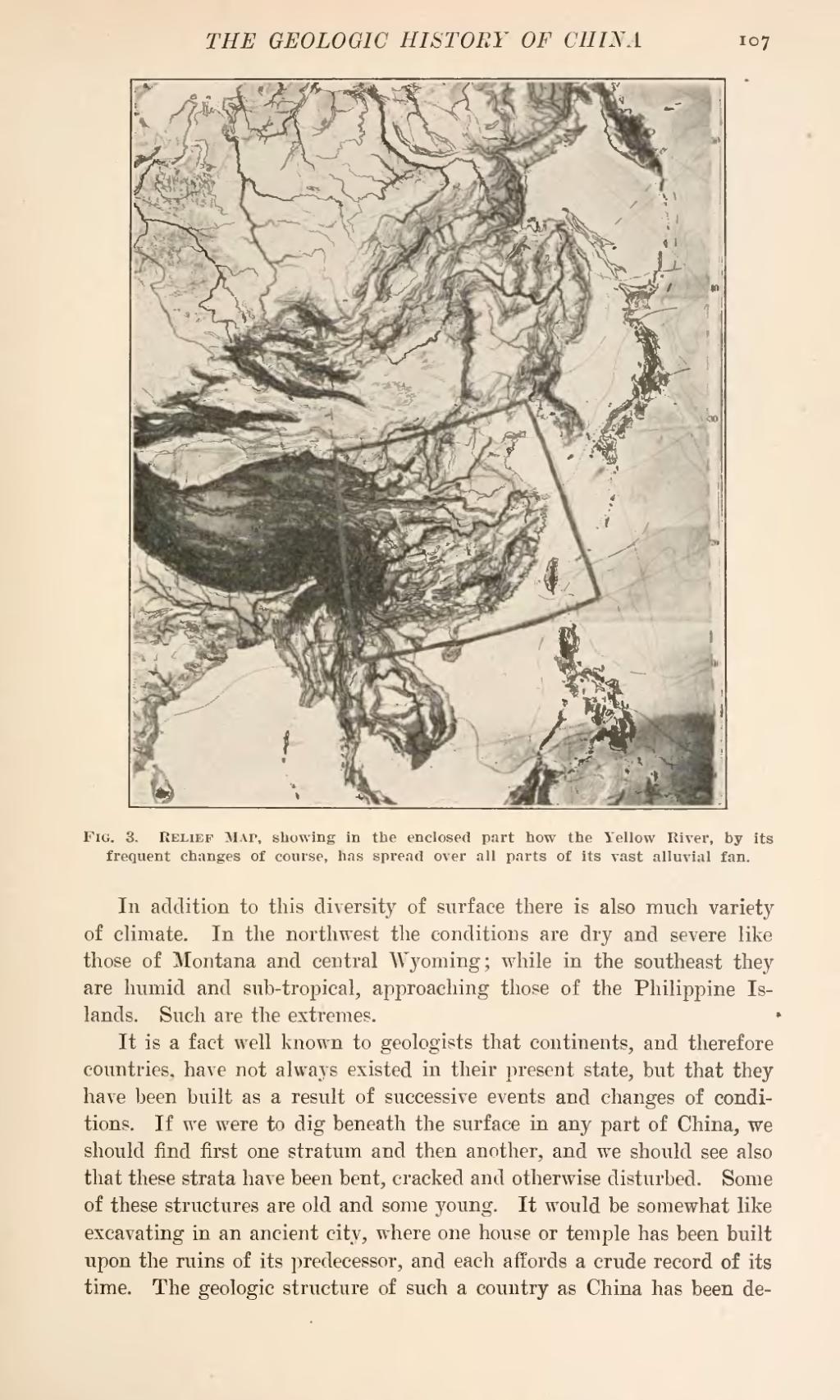
In addition to this diversity of surface there is also much variety of climate. In the northwest the conditions are dry and severe like those of Montana and central Wyoming; while in the southeast they are humid and sub-tropical, approaching those of the Philippine Islands. Such are the extremes.
It is a fact well known to geologists that continents, and therefore countries, have not always existed in their present state, but that they have been built as a result of successive events and changes of conditions. If we were to dig beneath the surface in any part of China, we should find first one stratum and then another, and we should see also that these strata have been bent, cracked and otherwise disturbed. Some of these structures are old and some young. It would be somewhat like excavating in an ancient city, where one house or temple has been built upon the ruins of its predecessor, and each affords a crude record of its time. The geologic structure of such a country as China has been determined