File:Marshall islands-map.png
Jump to navigation
Jump to search
No higher resolution available.
Marshall_islands-map.png (325 × 337 pixels, file size: 8 KB, MIME type: image/png)
| This is a file from the Wikimedia Commons. Information from its description page there is shown below. Commons is a freely licensed media file repository. You can help. |
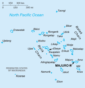
This image was copied from wikipedia:fr. The original description was:
- source
- fr:CIA World Factbook
- copyright
- domaine public
This image is in the public domain because it contains materials that originally came from the United States Central Intelligence Agency's World Factbook.
|
 |
File history
Click on a date/time to view the file as it appeared at that time.
| Date/Time | Thumbnail | Dimensions | User | Comment | |
|---|---|---|---|---|---|
| current | 05:14, 13 February 2022 | | 325 × 337 (8 KB) | Lojwe | Cropped 2 % horizontally, 5 % vertically using CropTool with precise mode. |
| 13:45, 29 September 2006 |  | 330 × 355 (7 KB) | Loveless | This image was copied from wikipedia:fr. The original description was: ;source: fr:CIA World Factbook ;copyright: domaine public {{DomainePublic}} {| border="1" ! date/time || username || resolution || size || edit summary |---- | |} |
File usage
There are no pages that use this file.
Global file usage
The following other wikis use this file:
- Usage on avk.wikipedia.org
- Usage on cs.wikipedia.org
- Usage on da.wikipedia.org
- Usage on en.wikipedia.org
- Usage on en.wikivoyage.org
- Usage on es.wikipedia.org
- Usage on fr.wikipedia.org
- Usage on gd.wikipedia.org
- Usage on is.wikipedia.org
- Usage on it.wikipedia.org
- Usage on ku.wikipedia.org
- Usage on ky.wikipedia.org
- Usage on la.wikipedia.org
- Usage on lt.wiktionary.org
- Usage on mr.wikipedia.org
- Usage on oc.wikipedia.org
- Usage on wo.wikipedia.org
- Usage on wuu.wikipedia.org