File:PSM V30 D267 Geodetic map of new jersey.png
Jump to navigation
Jump to search
Size of this preview: 410 × 599 pixels. Other resolutions: 164 × 240 pixels | 328 × 480 pixels | 526 × 768 pixels | 701 × 1,024 pixels | 1,767 × 2,581 pixels.
Original file (1,767 × 2,581 pixels, file size: 193 KB, MIME type: image/png)
| This is a file from the Wikimedia Commons. Information from its description page there is shown below. Commons is a freely licensed media file repository. You can help. |
Summary
| Description |
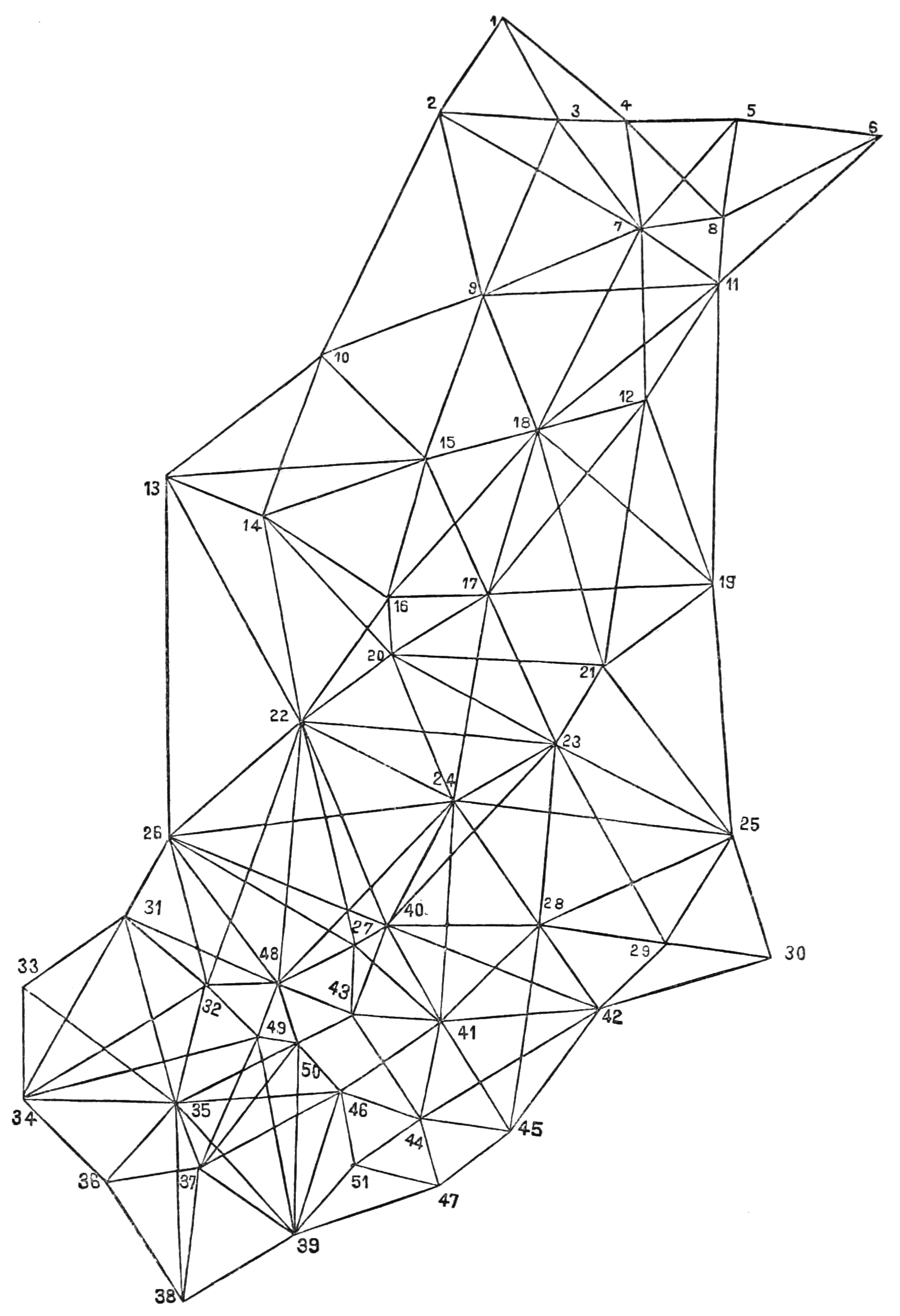
English: Geodetic map of New Jersey |
| Date | between 1886 and 1887 |
| Source | Popular Science Monthly Volume 30 |
| Author | Unknown author |
Licensing
This media file is in the public domain in the United States. This applies to U.S. works where the copyright has expired, often because its first publication occurred prior to January 1, 1929, and if not then due to lack of notice or renewal. See this page for further explanation.
|
 | |
 |
This image might not be in the public domain outside of the United States; this especially applies in the countries and areas that do not apply the rule of the shorter term for US works, such as Canada, Mainland China (not Hong Kong or Macao), Germany, Mexico, and Switzerland. The creator and year of publication are essential information and must be provided. See Wikipedia:Public domain and Wikipedia:Copyrights for more details.
|
File history
Click on a date/time to view the file as it appeared at that time.
| Date/Time | Thumbnail | Dimensions | User | Comment | |
|---|---|---|---|---|---|
| current | 15:06, 23 August 2011 | | 1,767 × 2,581 (193 KB) | Ineuw |
File usage
The following 2 pages use this file: