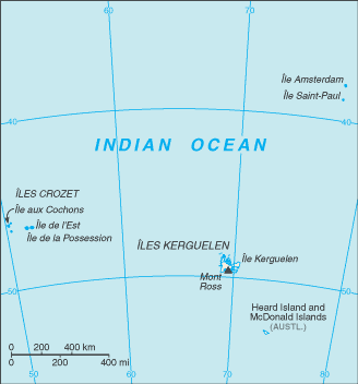
File:French Southern and Antarctic Lands-CIA WFB Map.png
Jump to navigation
Jump to search
No higher resolution available.
French_Southern_and_Antarctic_Lands-CIA_WFB_Map.png (328 × 352 pixels, file size: 7 KB, MIME type: image/png)
| This is a file from the Wikimedia Commons. Information from its description page there is shown below. Commons is a freely licensed media file repository. You can help. |
This image is in the public domain because it contains materials that originally came from the United States Central Intelligence Agency's World Factbook.
|
 |
File history
Click on a date/time to view the file as it appeared at that time.
| Date/Time | Thumbnail | Dimensions | User | Comment | |
|---|---|---|---|---|---|
| current | 10:30, 21 January 2006 | | 328 × 352 (7 KB) | Hoshie | Updated map of the French Southern and Antarctic Lands from CIA Factbook, 10 Jan 06 rev. |
| 09:13, 27 March 2005 |  | 330 × 355 (3 KB) | Wolfman~commonswiki | {{CIA-map}} |
File usage
The following page uses this file:
Global file usage
The following other wikis use this file:
- Usage on fr.wikipedia.org
- Usage on fr.wiktionary.org
- Usage on hu.wikipedia.org