File:Periferia Stereas Elladas.png
Jump to navigation
Jump to search
Size of this preview: 706 × 599 pixels. Other resolutions: 283 × 240 pixels | 566 × 480 pixels.
Original file (800 × 679 pixels, file size: 92 KB, MIME type: image/png)
| This is a file from the Wikimedia Commons. Information from its description page there is shown below. Commons is a freely licensed media file repository. You can help. |
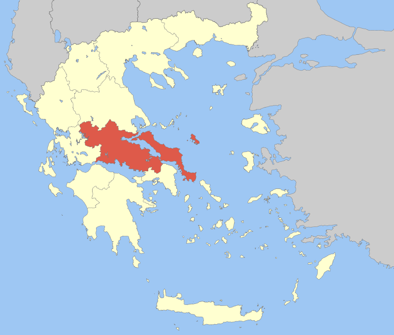
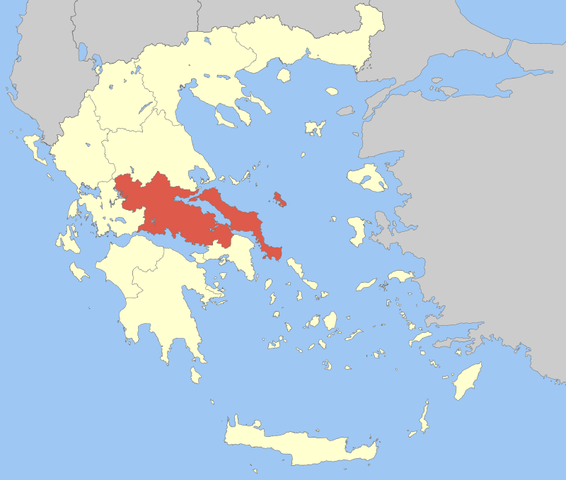
| Description | Locator Map of Sterea Ellada Periphery, Greece |
| Date | |
| Source | Own work |
| Author | Pitichinaccio |
| I, the copyright holder of this work, release this work into the public domain. This applies worldwide. In some countries this may not be legally possible; if so: I grant anyone the right to use this work for any purpose, without any conditions, unless such conditions are required by law. |
File history
Click on a date/time to view the file as it appeared at that time.
| Date/Time | Thumbnail | Dimensions | User | Comment | |
|---|---|---|---|---|---|
| current | 11:51, 5 April 2008 | | 800 × 679 (92 KB) | Pitichinaccio | {{Information |Description=Locator Map of Sterea Ellada Periphery, Greece |Source=eigene Arbeit |Date=April 5, 2008 |Author= Pitichinaccio }} {{PD-self}} Category:Periphery maps of Greece |
File usage
There are no pages that use this file.
Global file usage
The following other wikis use this file:
- Usage on ca.wikipedia.org
- Usage on cv.wikipedia.org
- Usage on da.wikipedia.org
- Usage on de.wikipedia.org
- Usage on en.wikipedia.org
- Delphi
- Thebes, Greece
- Boeotia
- Phocis
- Chalcis
- Eretria
- Skyros
- Tanagra
- Evrytania
- Phthiotis
- Lamia (city)
- Karystos
- Orchomenus (Boeotia)
- Euboea (regional unit)
- Livadeia
- Karpenisi
- Makrakomi
- Dorida
- Domokos
- Kamena Vourla
- Stylida
- User:Odysses/Sandbox/Acropolis
- Central Greece (region)
- Agrafa (municipality)
- Template:Central Greece
- Distomo-Arachova-Antikyra
- Dirfys-Messapia
- Istiaia-Aidipsos
- Kymi-Aliveri
- Mantoudi-Limni-Agia Anna
- Lokroi (municipality)
View more global usage of this file.