Page
:
Interregional Highways.pdf/139
From Wikisource
Jump to navigation
Jump to search
This page has been
proofread
, but needs to be
validated
.
CONSTRUCTING THE SYSTEM
113
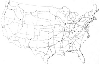
Figure 36.
—Map of the recommended system, showing the location of advance engineering projects approved October 31, 1943.
Category
:
Proofread
Navigation menu
Personal tools
Not logged in
Talk
Contributions
Create account
Log in
Namespaces
Previous page
Next page
Page
Discussion
Image
Index
English
Views
Read
Edit
View history
More
Search
Navigation
Main Page
Community portal
Central discussion
Recent changes
Subject index
Authors
Random work
Random author
Random transcription
Help
Donate
Tools
What links here
Related changes
Special pages
Permanent link
Page information
Cite this page
Get shortened URL
Download QR code
Print/export
Printable version
Download EPUB
Download MOBI
Download PDF
Other formats
In other languages