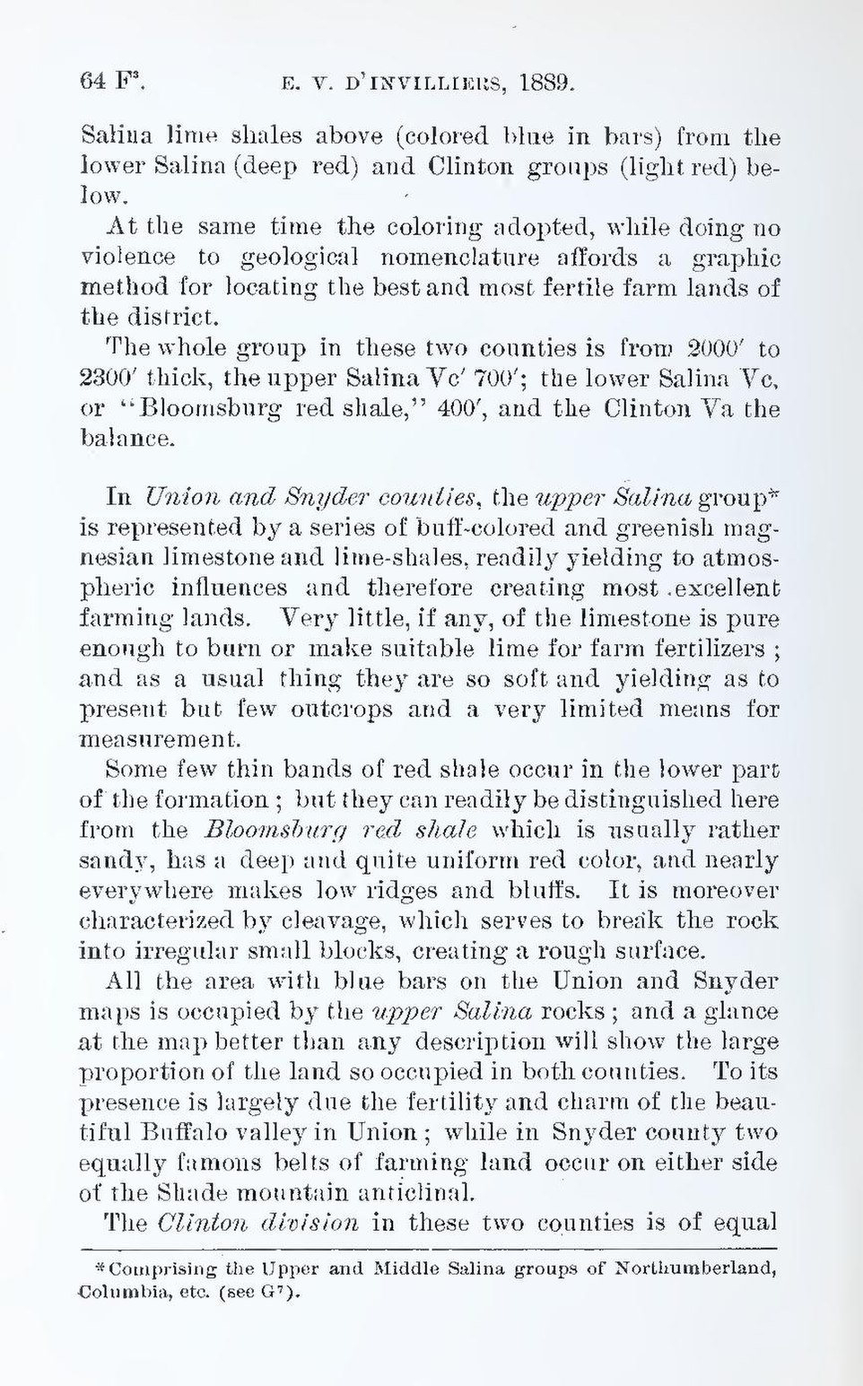
Salina lime shales above (colored blue in bars) from the lower Salina (deep red) and Clinton groups (light red) below.
At the same time the coloring adopted, while doing no violence to geological nomenclature affords a graphic method for locating the best and most fertile farm lands of the district.
The whole group in these two counties is from 2000′ to 2300′ thick, the upper Salina Vc′ 700′; the lower Salina Vc, or “Bloomsburg red shale,” 400′, and the Clinton Va the balance.
In Union and Snyder counties, the upper Salina group[1] is represented by a series of buff-colored and greenish magnesian limestone and lime-shales, readily yielding to atmospheric influences and therefore creating most excellent farming lands. Very little, if any, of the limestone is pure enough to burn or make suitable lime for farm fertilizers; and as a usual thing they are so soft and yielding as to present but few outcrops and a very limited means for measurement.
Some few thin bands of red shale occur in the lower part of the formation; but they can readily be distinguished here from the Bloomsburg red shale which is usually rather sandy, has a deep and quite uniform red color, and nearly everywhere makes low ridges and bluffs. It is moreover characterized by cleavage, which serves to break the rock into irregular small blocks, creating a rough surface.
All the area with blue bars on the Union and Snyder maps is occupied by the upper Salina rocks; and a glance at the map better than any description will show the large proportion of the land so occupied in both counties. To its presence is largely due the fertility and charm of the beautiful Buffalo valley in Union; while in Snyder county two equally famous belts of farming land occur on either side of the Shade mountain anticlinal.
The Clinton division in these two counties is of equal
- ↑ Comprising the Upper and Middle Salina groups of Northumberland, Columbia, etc. (see G⁷).